Breaking News
Automatically generated translation; may contain errors.
1) DOF EXTENDS SKANDI MARINER CONTRACT THROUGH Q3 2028
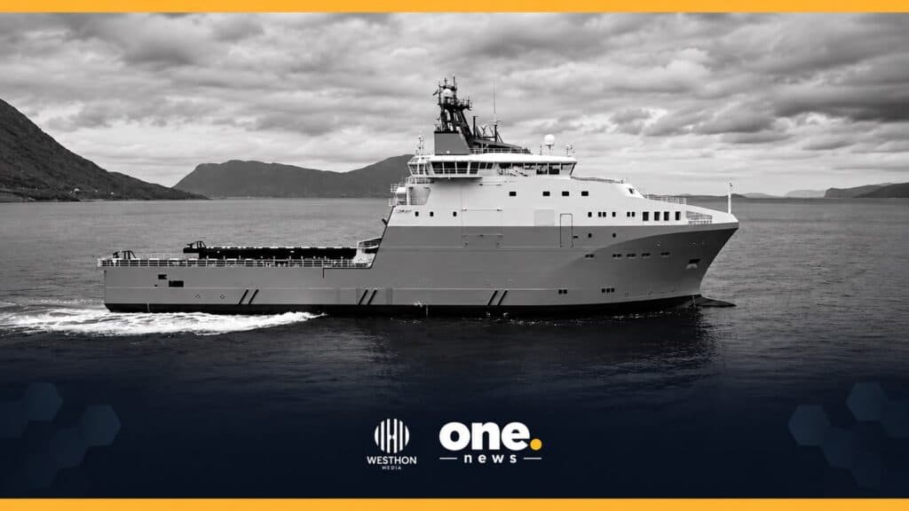
DOF Group has secured a contract extension for the AHTS Skandi Mariner following the exercise of an option under its current agreement.
The contract, previously scheduled to expire in Q2 2027, is now firm through Q3 2028. DOF classifies the value of the extension as Significant, representing between US$15 million and US$25 million.
The company did not disclose the client or exact contract value.
2) DEEPWATER TITAN DEPLOYS CLOSED-LOOP DRILLING AUTOMATION IN U.S. GULF
Transocean, working with Chevron, SLB and Intellilift, is deploying closed-loop drilling automation aboard the Deepwater Titan while drilling a complex deepwater well in the U.S. Gulf.
The technology integrates topside automation on the drilling rig with downhole automation inside the wellbore, creating a closed control loop between surface and well operations.
Transocean describes the project as the first large-scale deployment of the technology in the United States and says the system is demonstrating safe and effective performance in a complex deepwater environment.
3) RINA SECURES €11 MILLION PETROBRAS SUBSEA ENGINEERING CONTRACT
RINA has signed a three-year, €11 million contract with Petrobras covering engineering services for the integrity, reliability, life extension and decommissioning of subsea systems.
The scope includes integrity assessments for pipelines and risers, FMEA/FMECA and RAM reliability studies, asset life-extension evaluations and technical studies supporting subsea decommissioning projects.
The contract provides for the mobilization of up to 83 engineers and specialized technicians, including approximately 45 professionals already within RINA’s team.
4) BELOV EXPANDS MARINE SURVEY PORTFOLIO WITH AERIAL AND LIDAR SERVICES
Belov has expanded its Marine Survey capabilities after completing the required registrations with Brazil’s Ministry of Defense, DECEA, ANAC and ANATEL for aerial surveying activities.
The new capability includes aerial photogrammetry, Category A surveying activities and LiDAR technology, complementing the company’s existing hydrographic, bathymetric and sonar survey services.
The integrated offering supports maritime, port, coastal and river projects by combining submerged and above-water geospatial data acquisition.
This article was produced by Westhon Media for One Energy News.